Geo & Maps
Showing 12 of 12 tools
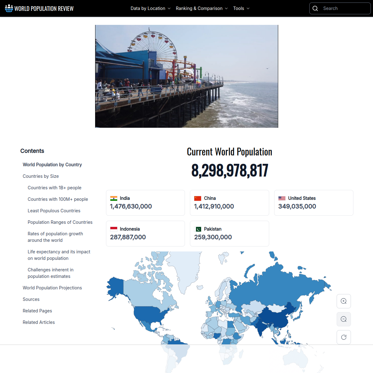
Up-to-date global statistics and country rankings.
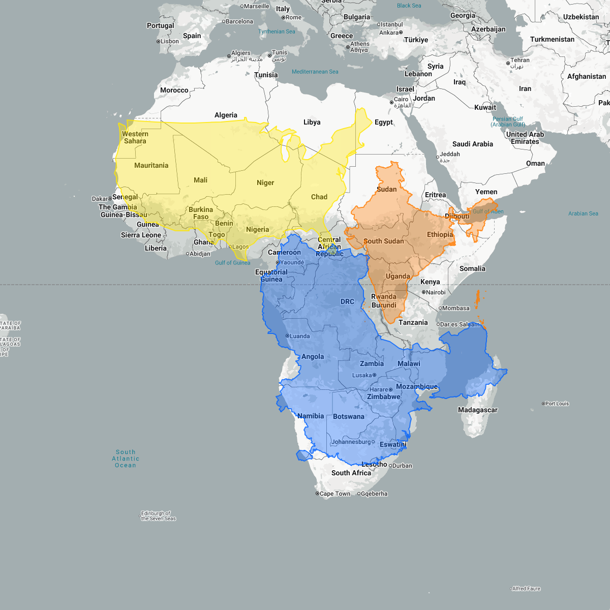
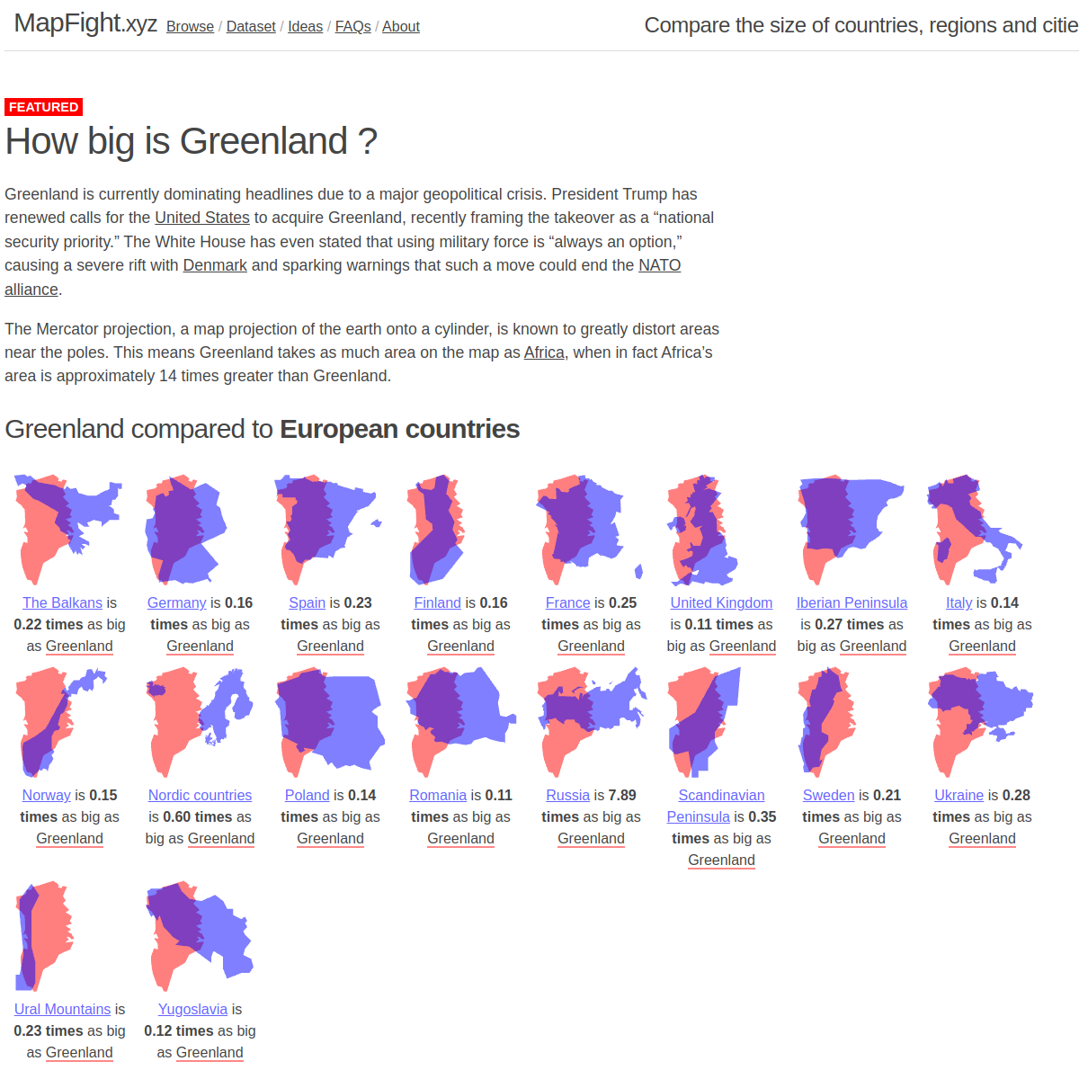
Interactive map tool that lets you compare the real size of countries.
Turn spreadsheets into interactive maps.
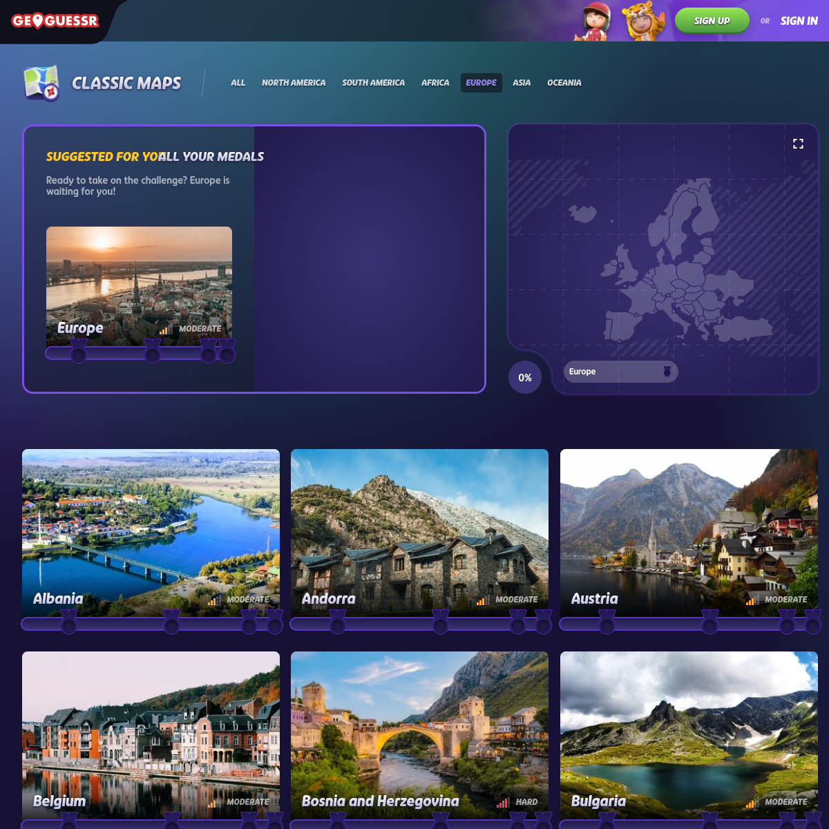
Explore and challenge your geography knowledge through map games.
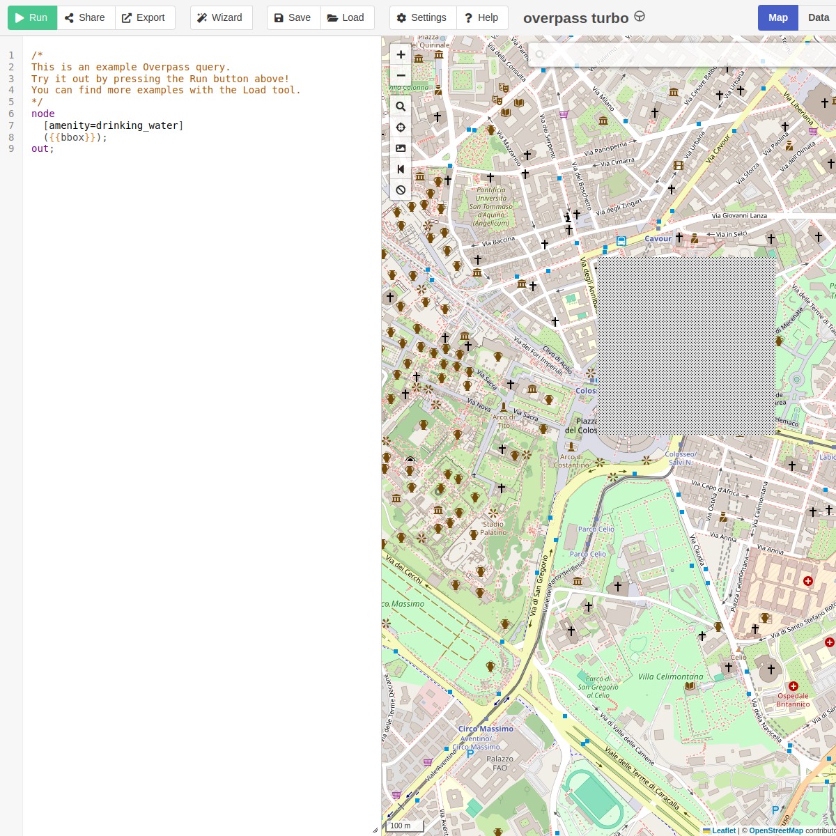
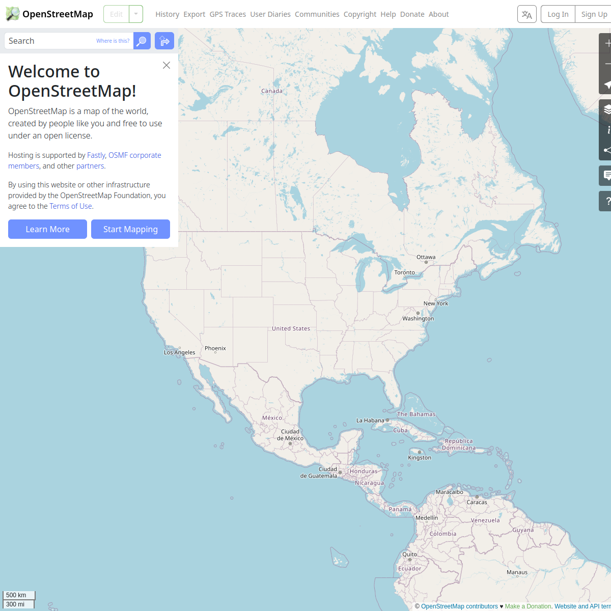
Query and visualize OpenStreetMap data.
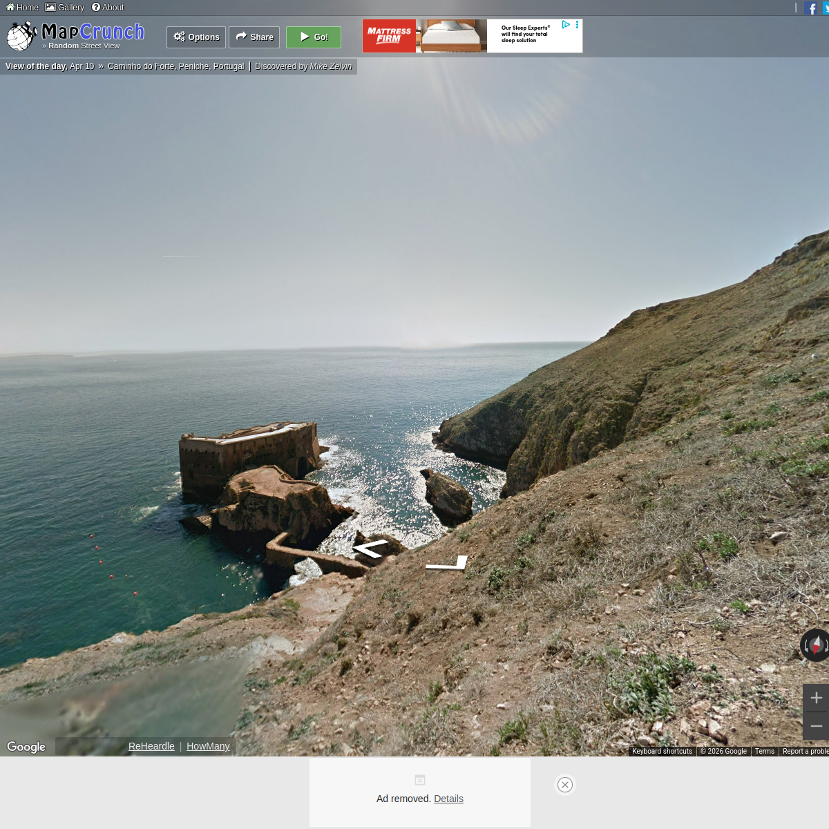
Teleport to random Google Street View locations worldwide.
Visual tool to compare country and state sizes side by side.
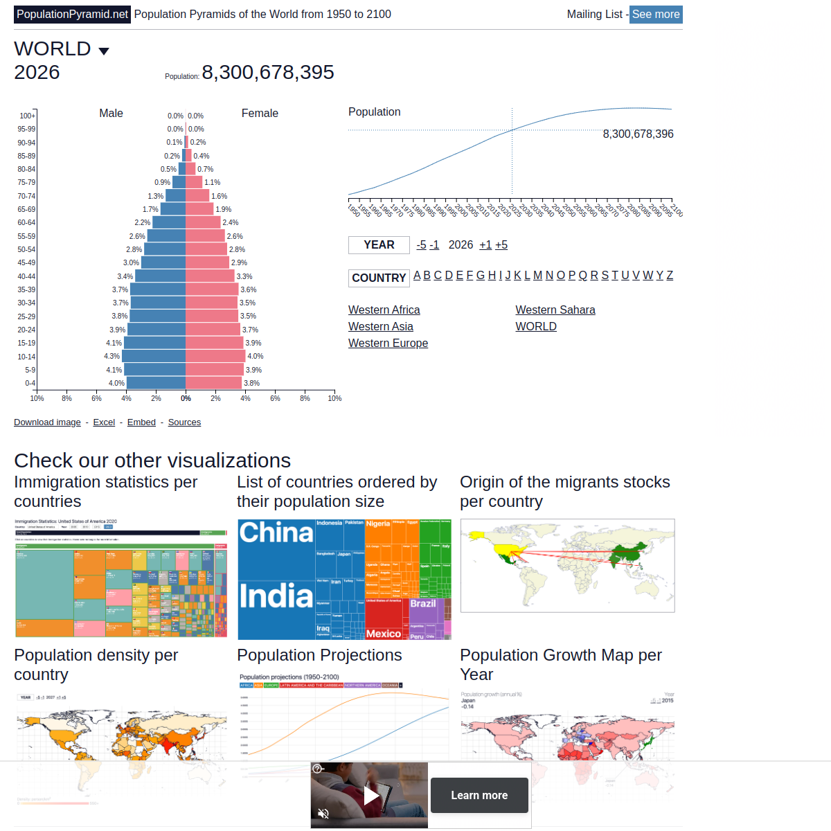
Visualizes the population structure of every country.

Interactive world data and country facts from the CIA Factbook.

That's all of them so far.
Got something to add? Submit yours →